
Thank you for supporting this site ❤️
Make a donation
Make a donation
Aranguren topographic map
Click on the map to display elevation.
Thank you for supporting this site ❤️
Make a donation
Make a donation
About this map
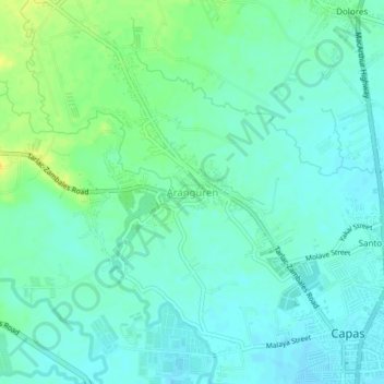
Name: Aranguren topographic map, elevation, terrain.
Location: Aranguren, Capas, Tarlac, Central Luzon, 2315, Philippines (15.33073 120.55275 15.37073 120.59275)
Average elevation: 55 m
Minimum elevation: 47 m
Maximum elevation: 73 m
Thank you for supporting this site ❤️
Make a donation
Make a donation
Other topographic maps
Click on a map to view its topography, its elevation and its terrain.