
Quaregnon topographic map
Interactive map
Click on the map to display elevation.
About this map
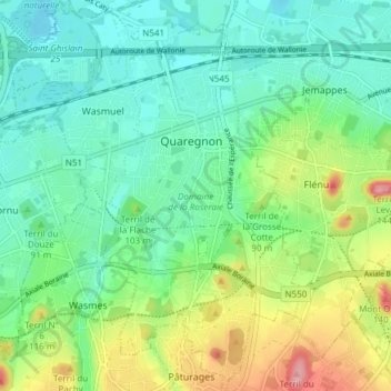
Name: Quaregnon topographic map, elevation, terrain.
Location: Quaregnon, Bergen, Henegouwen, Wallonië, 7390, België (50.41138 3.82873 50.45932 3.88516)
Average elevation: 50 m
Minimum elevation: 16 m
Maximum elevation: 130 m