
Thank you for supporting this site ❤️
Make a donation
Make a donation
Tontelange topographic map
Click on the map to display elevation.
Thank you for supporting this site ❤️
Make a donation
Make a donation
About this map
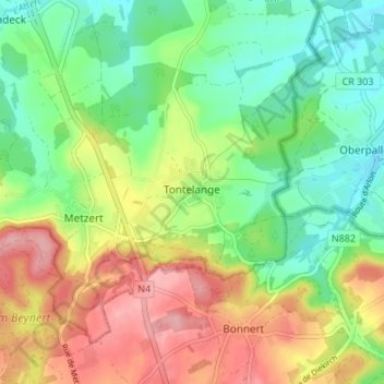
Name: Tontelange topographic map, elevation, terrain.
Location: Tontelange, Attert, Arlon, Luxembourg, Wallonie, 6717, Belgique (49.70913 5.76522 49.74338 5.83263)
Average elevation: 350 m
Minimum elevation: 294 m
Maximum elevation: 422 m
Thank you for supporting this site ❤️
Make a donation
Make a donation