
Hangga topographic map
Click on the map to display elevation.
About this map
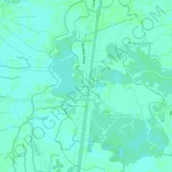
Name: Hangga topographic map, elevation, terrain.
Location: Hangga, Hagonoy, Bulacan, Central Luzon, 3001, Philippines (14.82281 120.74404 14.86281 120.78404)
Average elevation: 3 m
Minimum elevation: 0 m
Maximum elevation: 5 m
Other topographic maps
Click on a map to view its topography, its elevation and its terrain.