
Sidney topographic map
Interactive map
Click on the map to display elevation.
About this map
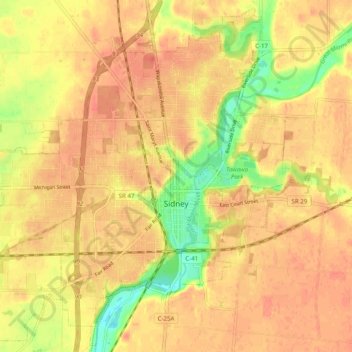
Name: Sidney topographic map, elevation, terrain.
Location: Sidney, Shelby County, Ohio, 45365, USA (40.25400 -84.21629 40.32410 -84.11803)
Average elevation: 312 m
Minimum elevation: 278 m
Maximum elevation: 327 m