
Nationalpark Neusiedler See - Seewinkel topographic map
Interactive map
Click on the map to display elevation.
About this map
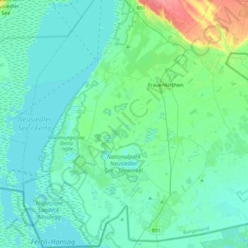
Name: Nationalpark Neusiedler See - Seewinkel topographic map, elevation, terrain.
Average elevation: 119 m
Minimum elevation: 109 m
Maximum elevation: 170 m