
Thank you for supporting this site ❤️
Make a donation
Make a donation
Kampung Sungkup topographic map
Click on the map to display elevation.
Thank you for supporting this site ❤️
Make a donation
Make a donation
About this map
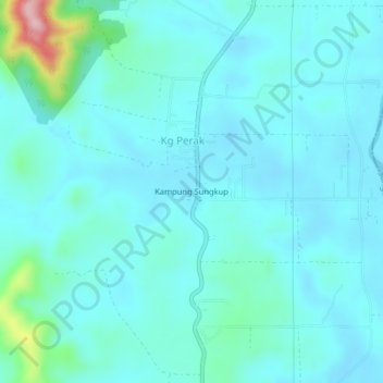
Name: Kampung Sungkup topographic map, elevation, terrain.
Location: Kampung Sungkup, Kg Perak, Kuala Muda, Kedah, 08010, Malaysia (5.70256 100.61111 5.74256 100.65111)
Average elevation: 47 m
Minimum elevation: 16 m
Maximum elevation: 249 m
Thank you for supporting this site ❤️
Make a donation
Make a donation