
Stonecrest topographic map
Click on the map to display elevation.
About this map
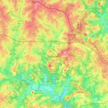
Name: Stonecrest topographic map, elevation, terrain.
Location: Stonecrest, DeKalb County, Georgia, 30038, United States (33.61467 -84.20175 33.75808 -84.07433)
Average elevation: 258 m
Minimum elevation: 201 m
Maximum elevation: 324 m
Other topographic maps
Click on a map to view its topography, its elevation and its terrain.