
Thank you for supporting this site ❤️
Make a donation
Make a donation
Tiga Runggu topographic map
Click on the map to display elevation.
Thank you for supporting this site ❤️
Make a donation
Make a donation
About this map
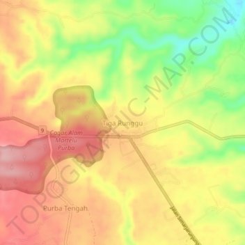
Name: Tiga Runggu topographic map, elevation, terrain.
Location: Tiga Runggu, Simalungun, North Sumatra, Sumatra, Indonesia (2.87853 98.70036 2.91853 98.74036)
Average elevation: 1,293 m
Minimum elevation: 1,202 m
Maximum elevation: 1,359 m
Thank you for supporting this site ❤️
Make a donation
Make a donation