
Thank you for supporting this site ❤️
Make a donation
Make a donation
Kisaran Kota topographic map
Click on the map to display elevation.
Thank you for supporting this site ❤️
Make a donation
Make a donation
About this map
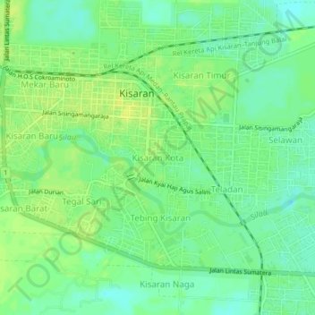
Name: Kisaran Kota topographic map, elevation, terrain.
Location: Kisaran Kota, Asahan, North Sumatra, Sumatra, 21211, Indonesia (2.95570 99.61147 2.99570 99.65147)
Average elevation: 19 m
Minimum elevation: 10 m
Maximum elevation: 26 m
Thank you for supporting this site ❤️
Make a donation
Make a donation
Other topographic maps
Click on a map to view its topography, its elevation and its terrain.