
Thank you for supporting this site ❤️
Make a donation
Make a donation
Santo Tomás topographic map
Click on the map to display elevation.
Thank you for supporting this site ❤️
Make a donation
Make a donation
About this map
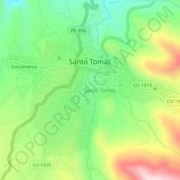
Name: Santo Tomás topographic map, elevation, terrain.
Location: Santo Tomás, Provincia de Chumbivilcas, Cuzco, Perú (-14.46684 -72.09757 -14.44350 -72.06447)
Average elevation: 3,710 m
Minimum elevation: 3,511 m
Maximum elevation: 4,018 m
Thank you for supporting this site ❤️
Make a donation
Make a donation