
Addison topographic map
Interactive map
Click on the map to display elevation.
About this map
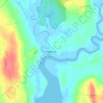
Name: Addison topographic map, elevation, terrain.
Location: Addison, Washington County, Maine, United States of America (44.59882 -67.76445 44.63882 -67.72445)
Average elevation: 19 m
Minimum elevation: -4 m
Maximum elevation: 70 m