
Thank you for supporting this site ❤️
Make a donation
Make a donation
Taleh topographic map
Click on the map to display elevation.
Thank you for supporting this site ❤️
Make a donation
Make a donation
About this map
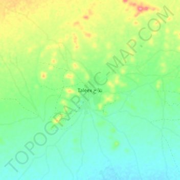
Name: Taleh topographic map, elevation, terrain.
Location: Taleh, Taleh District, Sool, Somaliland, Somalia (9.10610 48.38194 9.18610 48.46194)
Average elevation: 637 m
Minimum elevation: 603 m
Maximum elevation: 707 m
Thank you for supporting this site ❤️
Make a donation
Make a donation