
Crni Kal topographic map
Interactive map
Click on the map to display elevation.
About this map
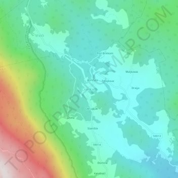
Name: Crni Kal topographic map, elevation, terrain.
Location: Crni Kal, Grad Senj, Ličko-senjska županija, Kroatië (44.89948 15.04688 44.93948 15.08688)
Average elevation: 651 m
Minimum elevation: 402 m
Maximum elevation: 1,368 m