
Thank you for supporting this site ❤️
Make a donation
Make a donation
Churajon topographic map
Click on the map to display elevation.
Thank you for supporting this site ❤️
Make a donation
Make a donation
About this map
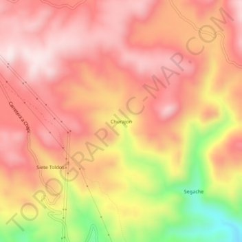
Name: Churajon topographic map, elevation, terrain.
Location: Churajon, Polobaya, Arequipa, Perú (-16.67530 -71.35596 -16.63530 -71.31596)
Average elevation: 3,171 m
Minimum elevation: 2,820 m
Maximum elevation: 3,349 m
Thank you for supporting this site ❤️
Make a donation
Make a donation