
Rüthi topographic map
Interactive map
Click on the map to display elevation.
About this map
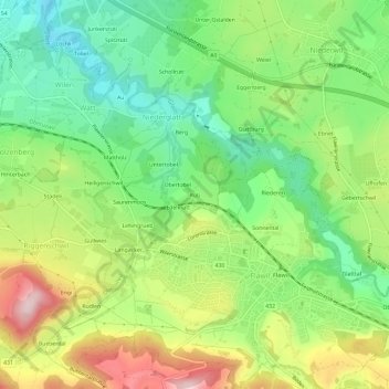
Name: Rüthi topographic map, elevation, terrain.
Location: Rüthi, Wahlkreis Wil, Saint-Gall, 9230, Suisse (47.40291 9.15625 47.44291 9.19625)
Average elevation: 616 m
Minimum elevation: 499 m
Maximum elevation: 792 m