
Thank you for supporting this site ❤️
Make a donation
Make a donation
Dover topographic map
Click on the map to display elevation.
Thank you for supporting this site ❤️
Make a donation
Make a donation
About this map
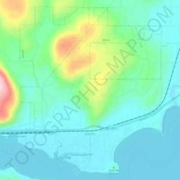
Name: Dover topographic map, elevation, terrain.
Location: Dover, Bonner County, Idaho, 83825, United States (48.24370 -116.63181 48.27691 -116.57806)
Average elevation: 680 m
Minimum elevation: 621 m
Maximum elevation: 875 m
Thank you for supporting this site ❤️
Make a donation
Make a donation
Other topographic maps
Click on a map to view its topography, its elevation and its terrain.
Thank you for supporting this site ❤️
Make a donation
Make a donation
Thank you for supporting this site ❤️
Make a donation
Make a donation