
Wijgmaal topographic map
Interactive map
Click on the map to display elevation.
About this map
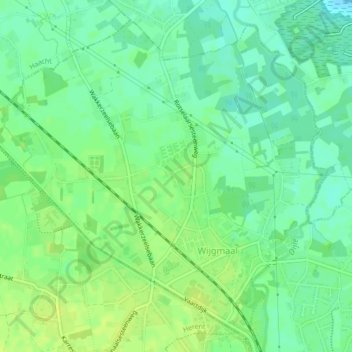
Name: Wijgmaal topographic map, elevation, terrain.
Location: Wijgmaal, Louvain, Brabant flamand, Flandre, 3018, Belgique (50.92006 4.67117 50.94407 4.71354)
Average elevation: 15 m
Minimum elevation: 6 m
Maximum elevation: 22 m
Other topographic maps
Click on a map to view its topography, its elevation and its terrain.