
Thank you for supporting this site ❤️
Make a donation
Make a donation
Heers topographic map
Click on the map to display elevation.
Thank you for supporting this site ❤️
Make a donation
Make a donation
About this map
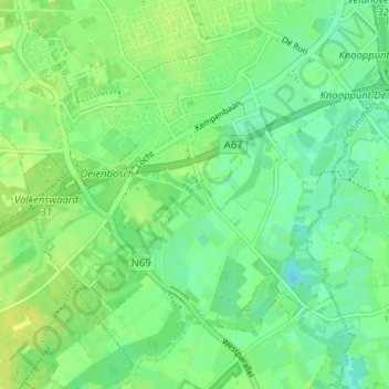
Name: Heers topographic map, elevation, terrain.
Location: Heers, Veldhoven, Noord-Brabant, Nederland, 5504, Nederland (51.37388 5.37906 51.41388 5.41906)
Average elevation: 22 m
Minimum elevation: 14 m
Maximum elevation: 30 m
Thank you for supporting this site ❤️
Make a donation
Make a donation