
Thank you for supporting this site ❤️
Make a donation
Make a donation
Cerro Puerco topographic map
Click on the map to display elevation.
Thank you for supporting this site ❤️
Make a donation
Make a donation
About this map
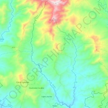
Name: Cerro Puerco topographic map, elevation, terrain.
Location: Cerro Puerco, Distrito Müna, Ngäbe-Buglé, Panamá (8.27812 -81.78790 8.39723 -81.73611)
Average elevation: 367 m
Minimum elevation: 60 m
Maximum elevation: 1,105 m
Thank you for supporting this site ❤️
Make a donation
Make a donation
Other topographic maps
Click on a map to view its topography, its elevation and its terrain.