
Dunagiri topographic map
Click on the map to display elevation.
About this map
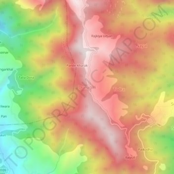
Name: Dunagiri topographic map, elevation, terrain.
Location: Dunagiri, Dwarahat, Almora, Uttarakhand, India (29.78316 79.43038 29.82316 79.47038)
Average elevation: 1,853 m
Minimum elevation: 1,313 m
Maximum elevation: 2,241 m