
Thank you for supporting this site ❤️
Make a donation
Make a donation
McWhorter topographic map
Click on the map to display elevation.
Thank you for supporting this site ❤️
Make a donation
Make a donation
About this map
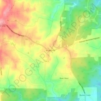
Name: McWhorter topographic map, elevation, terrain.
Location: McWhorter, Douglas County, Georgia, United States (33.59360 -84.85688 33.63360 -84.81688)
Average elevation: 308 m
Minimum elevation: 255 m
Maximum elevation: 360 m
Thank you for supporting this site ❤️
Make a donation
Make a donation