
Thank you for supporting this site ❤️
Make a donation
Make a donation
Gautier topographic map
Click on the map to display elevation.
Thank you for supporting this site ❤️
Make a donation
Make a donation
About this map
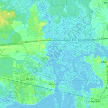
Name: Gautier topographic map, elevation, terrain.
Location: Gautier, Jackson County, Mississippi, 39553, United States (30.35617 -88.72176 30.48608 -88.60594)
Average elevation: 3 m
Minimum elevation: -4 m
Maximum elevation: 13 m
Thank you for supporting this site ❤️
Make a donation
Make a donation
Other topographic maps
Click on a map to view its topography, its elevation and its terrain.