
Thank you for supporting this site ❤️
Make a donation
Make a donation
Uyurpampa topographic map
Click on the map to display elevation.
Thank you for supporting this site ❤️
Make a donation
Make a donation
About this map
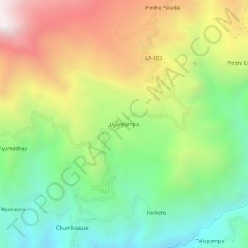
Name: Uyurpampa topographic map, elevation, terrain.
Location: Uyurpampa, Incahuasi, Ferreñafe, Lambayeque, Perú (-6.23938 -79.38079 -6.19938 -79.34079)
Average elevation: 2,907 m
Minimum elevation: 2,297 m
Maximum elevation: 3,764 m
Thank you for supporting this site ❤️
Make a donation
Make a donation