
Oberleiten topographic map
Interactive map
Click on the map to display elevation.
About this map
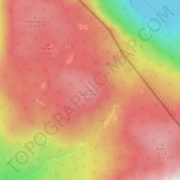
Name: Oberleiten topographic map, elevation, terrain.
Location: Oberleiten, Ehrwald, Bezirk Reutte, Österreich (47.44255 10.95379 47.44265 10.95389)
Average elevation: 1,437 m
Minimum elevation: 968 m
Maximum elevation: 1,691 m