
Thank you for supporting this site ❤️
Make a donation
Make a donation
Martin topographic map
Click on the map to display elevation.
Thank you for supporting this site ❤️
Make a donation
Make a donation
About this map
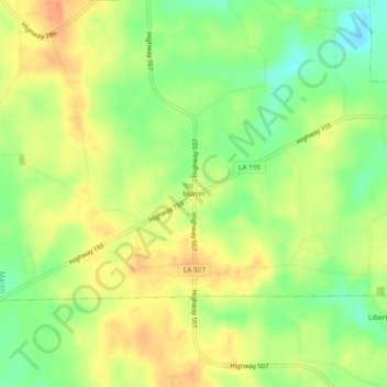
Name: Martin topographic map, elevation, terrain.
Location: Martin, Red River Parish, Louisiana, United States (32.06544 -93.24017 32.10544 -93.20017)
Average elevation: 67 m
Minimum elevation: 42 m
Maximum elevation: 89 m
Thank you for supporting this site ❤️
Make a donation
Make a donation