
Bildstein topographic map
Interactive map
Click on the map to display elevation.
About this map
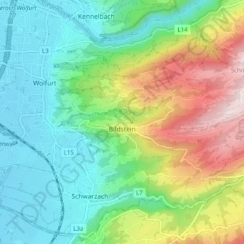
Name: Bildstein topographic map, elevation, terrain.
Location: Bildstein, Bregenz, Vorarlberg, 6961, Oostenrijk (47.44251 9.75459 47.47607 9.82393)
Average elevation: 578 m
Minimum elevation: 407 m
Maximum elevation: 939 m