
Thank you for supporting this site ❤️
Make a donation
Make a donation
San Pedro topographic map
Click on the map to display elevation.
Thank you for supporting this site ❤️
Make a donation
Make a donation
About this map
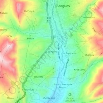
Name: San Pedro topographic map, elevation, terrain.
Location: San Pedro, Azogues, Cañar, 030101, Ecuador (-2.77591 -78.87124 -2.73591 -78.83124)
Average elevation: 2,561 m
Minimum elevation: 2,411 m
Maximum elevation: 2,795 m
Thank you for supporting this site ❤️
Make a donation
Make a donation