
Thank you for supporting this site ❤️
Make a donation
Make a donation
Happy Valley No. 10 topographic map
Click on the map to display elevation.
Thank you for supporting this site ❤️
Make a donation
Make a donation
About this map
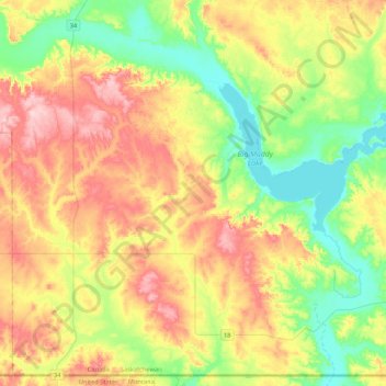
Name: Happy Valley No. 10 topographic map, elevation, terrain.
Location: Happy Valley No. 10, Division No. 2, Saskatchewan, Canada (48.99908 -105.23449 49.26088 -104.81099)
Average elevation: 741 m
Minimum elevation: 656 m
Maximum elevation: 859 m
Thank you for supporting this site ❤️
Make a donation
Make a donation
Other topographic maps
Click on a map to view its topography, its elevation and its terrain.