
Thank you for supporting this site ❤️
Make a donation
Make a donation
Lavalette topographic map
Click on the map to display elevation.
Thank you for supporting this site ❤️
Make a donation
Make a donation
About this map
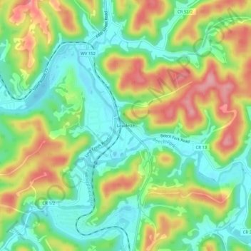
Name: Lavalette topographic map, elevation, terrain.
Location: Lavalette, Wayne County, West Virginia, 25535, United States (38.30286 -82.46682 38.34286 -82.42682)
Average elevation: 213 m
Minimum elevation: 162 m
Maximum elevation: 286 m
Thank you for supporting this site ❤️
Make a donation
Make a donation
Other topographic maps
Click on a map to view its topography, its elevation and its terrain.