
Thank you for supporting this site ❤️
Make a donation
Make a donation
Bald Peak topographic map
Click on the map to display elevation.
Thank you for supporting this site ❤️
Make a donation
Make a donation
About this map
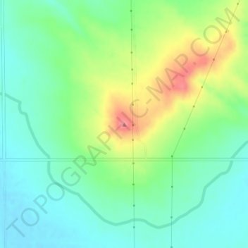
Name: Bald Peak topographic map, elevation, terrain.
Location: Bald Peak, Scotts Bluff County, Nebraska, United States (41.87520 -103.91055 41.87530 -103.91045)
Average elevation: 1,293 m
Minimum elevation: 1,264 m
Maximum elevation: 1,349 m
Thank you for supporting this site ❤️
Make a donation
Make a donation
Other topographic maps
Click on a map to view its topography, its elevation and its terrain.