
Thank you for supporting this site ❤️
Make a donation
Make a donation
Sebastopol topographic map
Click on the map to display elevation.
Thank you for supporting this site ❤️
Make a donation
Make a donation
About this map
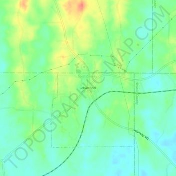
Name: Sebastopol topographic map, elevation, terrain.
Location: Sebastopol, Scott County, Mississippi, 39359, United States (32.55292 -89.35506 32.59292 -89.31506)
Average elevation: 126 m
Minimum elevation: 109 m
Maximum elevation: 156 m
Thank you for supporting this site ❤️
Make a donation
Make a donation