
Oros topographic map
Interactive map
Click on the map to display elevation.
About this map
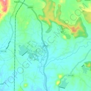
Name: Oros topographic map, elevation, terrain.
Location: Oros, Kudal, Sindhudurg District, Maharashtra, 416628, Indien (16.07633 73.66788 16.15633 73.74788)
Average elevation: 46 m
Minimum elevation: 6 m
Maximum elevation: 207 m