
Ablitas topographic map
Click on the map to display elevation.
About this map
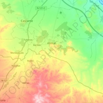
Name: Ablitas topographic map, elevation, terrain.
Location: Ablitas, Erribera / Ribera, Navarre, 31523, Spain (41.90989 -1.66051 42.01667 -1.49885)
Average elevation: 391 m
Minimum elevation: 246 m
Maximum elevation: 589 m