
Cheyres topographic map
Interactive map
Click on the map to display elevation.
About this map
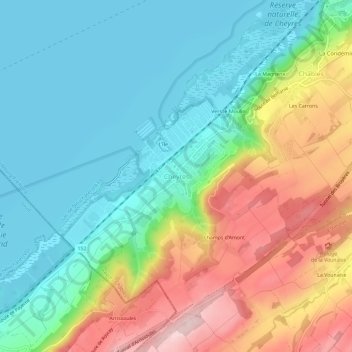
Name: Cheyres topographic map, elevation, terrain.
Location: Cheyres, District de la Broye, Fribourg, 1468, Suisse (46.79498 6.76733 46.83498 6.80733)
Average elevation: 514 m
Minimum elevation: 422 m
Maximum elevation: 692 m