
Thank you for supporting this site ❤️
Make a donation
Make a donation
Picnic Grove topographic map
Click on the map to display elevation.
Thank you for supporting this site ❤️
Make a donation
Make a donation
About this map
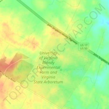
Name: Picnic Grove topographic map, elevation, terrain.
Location: Picnic Grove, Clarke County, Virginia, United States (39.06355 -78.06402 39.06418 -78.06309)
Average elevation: 179 m
Minimum elevation: 155 m
Maximum elevation: 198 m
Thank you for supporting this site ❤️
Make a donation
Make a donation