
Thank you for supporting this site ❤️
Make a donation
Make a donation
Boonville topographic map
Click on the map to display elevation.
Thank you for supporting this site ❤️
Make a donation
Make a donation
About this map
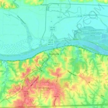
Name: Boonville topographic map, elevation, terrain.
Location: Boonville, Cooper County, Missouri, 65233, United States (38.93515 -92.78403 39.01515 -92.70403)
Average elevation: 198 m
Minimum elevation: 173 m
Maximum elevation: 248 m
Thank you for supporting this site ❤️
Make a donation
Make a donation