
Bakkhali topographic map
Click on the map to display elevation.
About this map
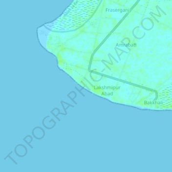
Name: Bakkhali topographic map, elevation, terrain.
Location: Bakkhali, Namkhana, South 24 Parganas, West Bengal, India (21.54394 88.24360 21.58394 88.28360)
Average elevation: 2 m
Minimum elevation: -1 m
Maximum elevation: 9 m