
Medziphema topographic map
Click on the map to display elevation.
About this map
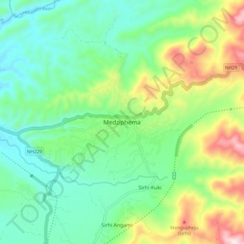
Name: Medziphema topographic map, elevation, terrain.
Location: Medziphema, Chümoukedima, Nagaland, 797106, India (25.72033 93.84312 25.80033 93.92312)
Average elevation: 458 m
Minimum elevation: 271 m
Maximum elevation: 887 m