
Thank you for supporting this site ❤️
Make a donation
Make a donation
El Tigre topographic map
Click on the map to display elevation.
Thank you for supporting this site ❤️
Make a donation
Make a donation
About this map
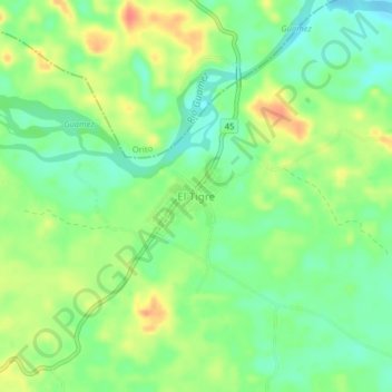
Name: El Tigre topographic map, elevation, terrain.
Location: El Tigre, Valle del Guamuez (La Hormiga), Putumayo, Colombia (0.45612 -76.86073 0.49612 -76.82073)
Average elevation: 310 m
Minimum elevation: 287 m
Maximum elevation: 340 m
Thank you for supporting this site ❤️
Make a donation
Make a donation
Other topographic maps
Click on a map to view its topography, its elevation and its terrain.