
Thank you for supporting this site ❤️
Make a donation
Make a donation
Gauri Kund topographic map
Click on the map to display elevation.
Thank you for supporting this site ❤️
Make a donation
Make a donation
About this map
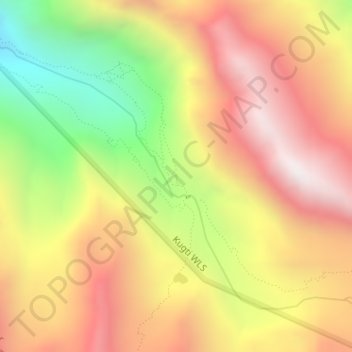
Name: Gauri Kund topographic map, elevation, terrain.
Location: Gauri Kund, Brahmaur, Chamba, Himachal Pradesh, India (32.40267 76.63685 32.40301 76.63702)
Average elevation: 4,185 m
Minimum elevation: 3,475 m
Maximum elevation: 4,757 m
Thank you for supporting this site ❤️
Make a donation
Make a donation
Other topographic maps
Click on a map to view its topography, its elevation and its terrain.