
Thank you for supporting this site ❤️
Make a donation
Make a donation
Clark City topographic map
Click on the map to display elevation.
Thank you for supporting this site ❤️
Make a donation
Make a donation
About this map
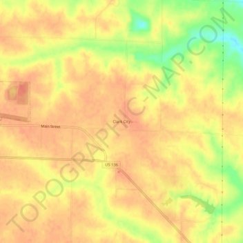
Name: Clark City topographic map, elevation, terrain.
Location: Clark City, Clark County, Missouri, 63445, United States (40.40087 -91.70155 40.44087 -91.66155)
Average elevation: 203 m
Minimum elevation: 169 m
Maximum elevation: 217 m
Thank you for supporting this site ❤️
Make a donation
Make a donation