Hâu Thào village topographic map
Interactive map
Click on the map to display elevation.
About this map
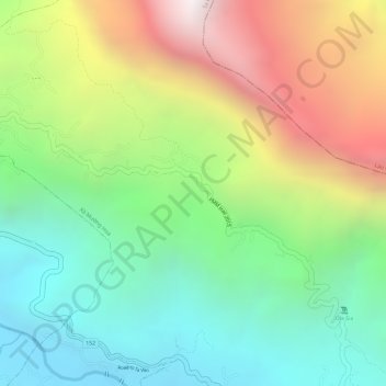
Name: Hâu Thào village topographic map, elevation, terrain.
Average elevation: 1,528 m
Minimum elevation: 972 m
Maximum elevation: 2,338 m

Click on the map to display elevation.
Name: Hâu Thào village topographic map, elevation, terrain.
Average elevation: 1,528 m
Minimum elevation: 972 m
Maximum elevation: 2,338 m