
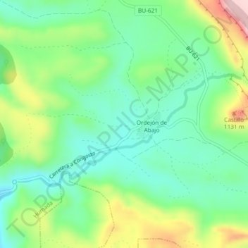
Tanja topographic map
Interactive map
Click on the map to display elevation.
About this map
Name: Tanja topographic map, elevation, terrain.
Location: Tanja, Humada, Páramos, Burgos, Castile and León, Spain (42.62977 -4.08576 42.64977 -4.06576)
Average elevation: 986 m
Minimum elevation: 903 m
Maximum elevation: 1,152 m