
Thank you for supporting this site ❤️
Make a donation
Make a donation
Stafford County topographic map
Click on the map to display elevation.
Thank you for supporting this site ❤️
Make a donation
Make a donation
About this map
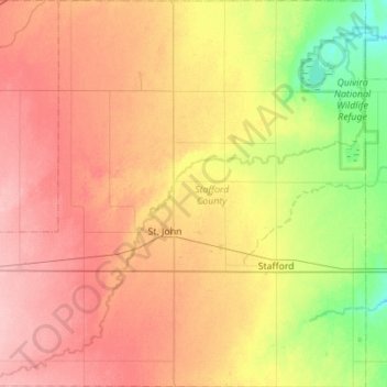
Name: Stafford County topographic map, elevation, terrain.
Location: Stafford County, Kansas, United States (37.82450 -99.02244 38.26129 -98.47192)
Average elevation: 577 m
Minimum elevation: 526 m
Maximum elevation: 627 m
Thank you for supporting this site ❤️
Make a donation
Make a donation
Other topographic maps
Click on a map to view its topography, its elevation and its terrain.