
Hải Dương topographic map
Interactive map
Click on the map to display elevation.
About this map
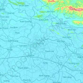
Name: Hải Dương topographic map, elevation, terrain.
Location: Hải Dương, Vietnam (20.68438 106.12437 21.23699 106.61164)
Average elevation: 23 m
Minimum elevation: -3 m
Maximum elevation: 878 m