
Thank you for supporting this site ❤️
Make a donation
Make a donation
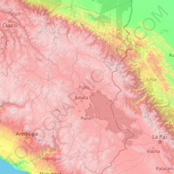
Puno topographic map
Click on the map to display elevation.
Thank you for supporting this site ❤️
Make a donation
Make a donation
Puno
As Puno is located at such a high elevation, it experiences more extreme weather conditions than would be expected for its tropical latitude. The average annual temperature is about 8.4 °C (47.1 °F), and the weather never gets overly warm. During the winter months from June to August, night-time temperatures usually drop well below 0 °C (32 °F). At this high altitude, the rays of the sun are very strong. Most of the annual precipitation falls during the southern hemisphere summer, with the winter months being very dry.
Thank you for supporting this site ❤️
Make a donation
Make a donation
About this map
Name: Puno topographic map, elevation, terrain.
Location: Puno, Peru (-17.29525 -71.11809 -13.00413 -68.79549)
Average elevation: 3,150 m
Minimum elevation: 0 m
Maximum elevation: 6,251 m
Thank you for supporting this site ❤️
Make a donation
Make a donation