
Thank you for supporting this site ❤️
Make a donation
Make a donation
Coalmine Hill topographic map
Click on the map to display elevation.
Thank you for supporting this site ❤️
Make a donation
Make a donation
About this map
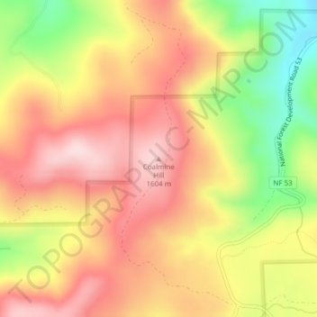
Name: Coalmine Hill topographic map, elevation, terrain.
Location: Coalmine Hill, Morrow County, Oregon, United States (45.17452 -119.34339 45.17462 -119.34329)
Average elevation: 1,486 m
Minimum elevation: 1,299 m
Maximum elevation: 1,618 m
Thank you for supporting this site ❤️
Make a donation
Make a donation