
Thank you for supporting this site ❤️
Make a donation
Make a donation
Līgatnes pagasts topographic map
Click on the map to display elevation.
Thank you for supporting this site ❤️
Make a donation
Make a donation
About this map
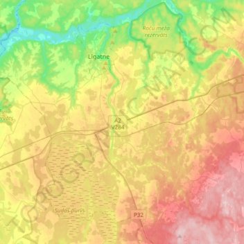
Name: Līgatnes pagasts topographic map, elevation, terrain.
Location: Līgatnes pagasts, Cēsu novads, Vidzeme, LV-4108, Latvia (57.11880 24.90056 57.26089 25.19684)
Average elevation: 110 m
Minimum elevation: 12 m
Maximum elevation: 217 m
Thank you for supporting this site ❤️
Make a donation
Make a donation
Other topographic maps
Click on a map to view its topography, its elevation and its terrain.