
Thank you for supporting this site ❤️
Make a donation
Make a donation
San Andrés topographic map
Click on the map to display elevation.
Thank you for supporting this site ❤️
Make a donation
Make a donation
About this map
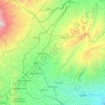
Name: San Andrés topographic map, elevation, terrain.
Location: San Andrés, Guano, Chimborazo, Ecuador (-1.62576 -78.85109 -1.43013 -78.66727)
Average elevation: 3,565 m
Minimum elevation: 2,546 m
Maximum elevation: 5,632 m
Thank you for supporting this site ❤️
Make a donation
Make a donation